Google Maps has been publicly demoing a new version of what is arguably the most popular mapping app in the world, with some pretty interesting upgrades.
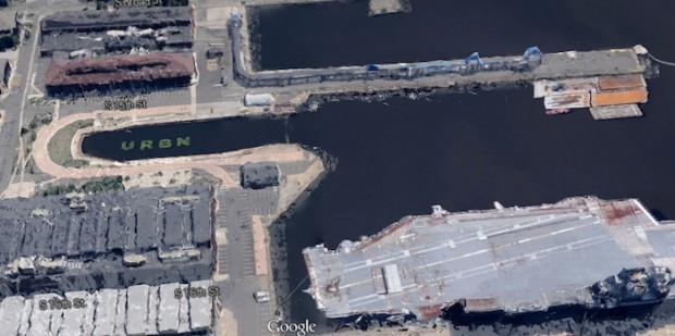
In addition to lots of user interface improvements and the like, the new version now features detailed 3D renderings of structures in certain major cities, like Philadelphia. While previously only the downtown areas had been modeled in such a fashion, you can now fly through a miniature, San Francisco Rush-esque version of most Philadelphia neighborhoods (sorry Far Northeast and Roxborough).
That means EVERYTHING from neato Navy Yard and Girard College renderings to the intense vacancy of the Logan Triangle and Neighborhood Transformation Initiative target areas that, in Google Maps, look like someone was intentionally losing at Sim City.
You can sign up for a free trial here, I got a response in a few days. Enjoy the gallery for now.